Remote Sensing’s Impact on Economy: Study Insights
Remote sensing of the environment has emerged as a transformative technology reshaping how economies monitor, manage, and monetize natural resources. By capturing detailed data about Earth’s surface through satellites and aerial platforms, remote sensing enables unprecedented visibility into environmental conditions, agricultural productivity, urban development, and climate patterns. This technological revolution directly impacts economic decision-making, resource allocation, and policy implementation across multiple sectors, from forestry to fisheries, from infrastructure planning to disaster management.
The economic implications extend far beyond data collection. Remote sensing reduces operational costs, minimizes environmental damage through precision management, and creates entirely new economic opportunities in the data analytics, technology, and consulting sectors. Recent studies demonstrate that organizations leveraging remote sensing technologies achieve significant returns on investment through improved resource efficiency, reduced monitoring expenses, and enhanced predictive capabilities. As environmental pressures intensify and sustainability becomes economically imperative, understanding remote sensing’s economic impact becomes essential for businesses, governments, and investors worldwide.

How Remote Sensing Transforms Environmental Monitoring
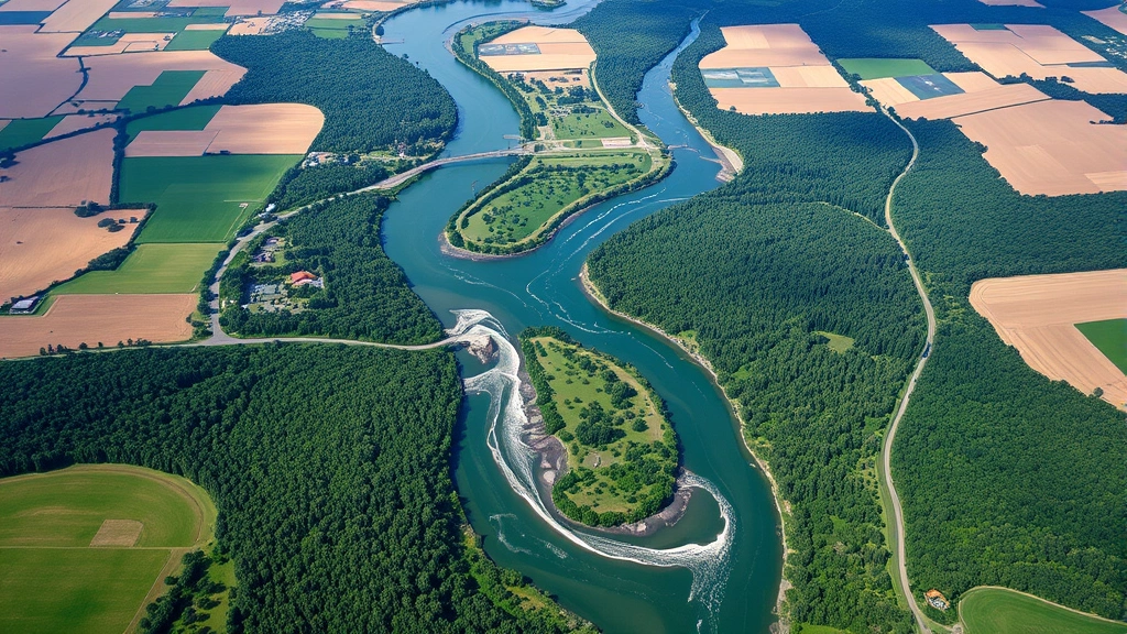
Remote sensing of the environment represents a paradigm shift in how we observe planetary systems. Satellites equipped with multispectral and hyperspectral sensors capture electromagnetic radiation reflected from Earth’s surface, translating physical phenomena into quantifiable data. This capability eliminates the need for expensive ground surveys, reduces human resource requirements, and provides consistent, repeatable measurements across vast geographical areas.
The economic advantage becomes apparent when considering traditional monitoring methods. Field surveys requiring teams of scientists traveling to remote locations cost thousands of dollars per mission. Remote sensing delivers comparable or superior data at a fraction of the cost, with global coverage available continuously. A single satellite pass provides information about forest health, water quality, soil conditions, and land use changes simultaneously—data that would require months of ground-based fieldwork to compile manually.
Integration with environment and society frameworks reveals how remote sensing data informs policy decisions affecting millions of people. Governments use satellite imagery to monitor illegal logging, track urban sprawl, assess drought severity, and plan infrastructure investments. This data-driven approach reduces corruption, improves resource allocation, and strengthens institutional accountability.

Economic Benefits Across Agricultural Sectors
Agriculture represents the most immediate application of remote sensing technology with demonstrable economic returns. Precision agriculture utilizes satellite data to optimize crop management, reduce input costs, and maximize yields. Farmers can identify field variability, apply water and fertilizers more efficiently, and detect disease outbreaks before they spread across entire farms.
Studies from the World Bank indicate that smallholder farmers in developing countries increase productivity by 15-25% when adopting remote sensing-based recommendations. This translates to hundreds of millions of dollars in additional agricultural output annually across Africa, Asia, and Latin America. The economic multiplier effects include reduced food imports, improved rural incomes, and enhanced food security.
Livestock management similarly benefits from remote sensing capabilities. Satellite data tracks vegetation patterns and water availability, enabling herders to make informed grazing decisions that prevent overgrazing, preserve pastureland, and maintain herd health. In semi-arid regions, this data-driven approach prevents costly livestock losses while reducing environmental degradation.
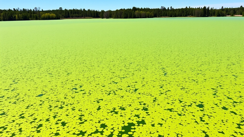
Aquaculture and fisheries industries use remote sensing to monitor water conditions, track fish populations, and predict catches. Commercial fishing operations reduce fuel consumption and operational costs by targeting fishing zones identified through satellite analysis of ocean color, temperature, and phytoplankton distribution. This efficiency improves profitability while reducing fishing pressure on depleted stocks.
Cost Reduction and Operational Efficiency
The financial case for remote sensing rests primarily on cost displacement and efficiency gains. Organizations monitoring large territories—national governments, multinational corporations, conservation organizations—face enormous expenses maintaining field teams. Remote sensing provides continuous monitoring at a fraction of these costs.
Forest management agencies illustrate this advantage clearly. Monitoring deforestation across tropical regions through ground patrols costs governments millions annually with incomplete coverage. Satellite-based monitoring systems cost significantly less while providing complete, frequent updates on forest status. The data quality improves simultaneously, enabling better detection of illegal logging and faster response to emerging problems.
Mining and energy companies use remote sensing to monitor environmental compliance, track reclamation progress, and detect unauthorized activities on concession areas. Real-time monitoring reduces environmental liability, improves stakeholder relations, and supports regulatory compliance documentation. Insurance companies increasingly offer premium discounts for operations utilizing remote sensing monitoring systems.
Understanding human environment interaction through remote sensing data enables organizations to identify potential conflicts before they escalate. Companies operating in sensitive ecosystems use satellite monitoring to demonstrate environmental stewardship, reducing community opposition and regulatory scrutiny.
Key efficiency metrics include:
- 50-70% reduction in monitoring costs compared to traditional ground surveys
- 90% faster detection of environmental changes or compliance violations
- 75% reduction in travel expenses for field verification teams
- Ability to monitor 10,000+ square kilometers daily from single satellite
- 24-hour response capability to environmental emergencies
Remote Sensing in Climate and Carbon Economics
Climate change economics increasingly depends on accurate environmental data, where remote sensing proves indispensable. Carbon credit markets, emerging carbon footprint reduction initiatives, and climate finance mechanisms all require verifiable, transparent measurement of environmental outcomes. Remote sensing provides this verification foundation.
Forest carbon projects utilize satellite data to quantify biomass, track deforestation rates, and verify carbon sequestration claims. This capability enables UNEP-supported climate finance mechanisms like REDD+ (Reducing Emissions from Deforestation and Degradation) to function reliably. Investors require confidence that carbon offsets represent real environmental benefits; remote sensing provides this assurance through independent verification.
The economic value becomes apparent in carbon market pricing. Projects with robust remote sensing verification command premium prices, sometimes 20-30% higher than unverified alternatives. This incentive structure encourages investment in monitoring infrastructure and creates markets for remote sensing services across developing nations.
Renewable energy development similarly relies on remote sensing data. Wind farm developers use satellite data to assess wind resources and identify optimal locations. Solar energy companies analyze cloud cover patterns and solar radiation data to evaluate project viability. This analysis reduces development risks and improves investment decision-making.
Urban Planning and Infrastructure Development
Rapidly urbanizing regions depend on remote sensing for planning and managing urban expansion. Satellite imagery reveals informal settlements, identifies infrastructure gaps, and tracks unplanned development. City planners use this data to design utilities, plan transportation networks, and allocate services efficiently.
The economic impact extends to disaster resilience and climate adaptation. Cities vulnerable to flooding, landslides, or earthquakes use remote sensing to identify risk zones, plan evacuation routes, and design protective infrastructure. Avoiding disasters through better planning saves billions in recovery costs while protecting lives and economic assets.
Real estate markets increasingly incorporate remote sensing data into property valuations. Environmental characteristics visible through satellite imagery—proximity to water, vegetation coverage, flood risk, air quality indicators—influence property values and investment returns. Transparent environmental data improves market efficiency and reduces information asymmetries.
Emerging Markets and Job Creation
Remote sensing technology creates substantial economic opportunities in data processing, analysis, and application services. The global remote sensing market exceeds $60 billion annually, with fastest growth in developing nations. This expansion generates employment for data scientists, environmental consultants, software developers, and technical specialists.
Countries like India, Brazil, and Kenya have developed significant remote sensing industries, offering services to domestic and international clients. These industries generate foreign exchange, develop technical expertise, and support broader economic diversification away from resource extraction.
Educational institutions worldwide now offer remote sensing training programs, creating skilled workforce pipelines. This talent development supports broader digital economy development while positioning nations to capture value from environmental data.
Investment Returns and Financial Analysis
Financial analysis demonstrates compelling returns on remote sensing investments. A study from ecological economics research institutions found that organizations investing in remote sensing systems recover initial costs within 2-3 years through operational efficiencies and improved decision-making.
Insurance companies use remote sensing to assess catastrophic risks, price policies more accurately, and reduce claim payouts through better risk management. Pension funds and asset managers increasingly evaluate environmental data from remote sensing when assessing long-term investment viability and climate-related financial risks.
Venture capital flows toward remote sensing startups developing innovative applications and analytical tools. This investment signals market confidence in the technology’s economic potential and suggests accelerating adoption across sectors.
Integration with renewable energy development demonstrates remote sensing’s role in supporting economic transitions. As societies shift toward sustainable energy systems, remote sensing enables cost-effective resource assessment and project optimization.
The International Society for Ecological Economics has documented how environmental monitoring through remote sensing supports ecological economics principles by making ecosystem service values visible and quantifiable in economic decision-making.
Investment return benchmarks:
- Agricultural productivity gains: 15-25% yield improvements
- Operational cost savings: 50-70% monitoring expense reduction
- Risk mitigation: 30-40% reduction in environmental liabilities
- Market expansion: 200-300% growth in data services sectors
- Infrastructure efficiency: 25-35% improvement in utility management
FAQ
What specific remote sensing technologies provide the greatest economic value?
Multispectral satellites offer the best balance between cost and utility for most applications, while hyperspectral systems provide premium data for specialized uses. Synthetic aperture radar (SAR) provides all-weather, day-night monitoring crucial for time-sensitive applications. The optimal technology depends on specific use cases and budget constraints.
How do developing nations access remote sensing technology without prohibitive costs?
Open-access satellite data from programs like Sentinel and Landsat have democratized remote sensing. Organizations can process free satellite imagery using open-source software, dramatically reducing barriers to entry. International development organizations increasingly fund remote sensing capacity-building in least-developed countries.
Can remote sensing replace traditional environmental monitoring entirely?
Remote sensing complements rather than completely replaces ground-based monitoring. Satellite data requires validation through field measurements and provides limited information about subsurface conditions. Optimal environmental management combines both approaches, using remote sensing for broad-scale monitoring and targeted ground surveys for detailed analysis.
What regulatory frameworks govern remote sensing data use?
Data policies vary by satellite operator and nation. Most governments support open access to environmental monitoring data, recognizing public benefits. Privacy concerns arise only in limited applications involving high-resolution imagery of populated areas. International standards continue evolving to balance transparency, privacy, and security considerations.
How does remote sensing support sustainable development goals?
Remote sensing directly enables monitoring of multiple sustainable development goals, from poverty reduction through improved agricultural productivity to climate action through transparent emissions monitoring. The technology provides the data infrastructure essential for evidence-based sustainable development policy.