Remote Sensing’s Role in Economy: Study Insights from Environmental Economics
Remote sensing technology has fundamentally transformed how economists, environmental scientists, and policymakers understand the relationship between natural capital and economic development. By capturing detailed spatial and temporal data about Earth’s resources, land use patterns, and ecosystem health, satellite imagery and aerial surveys provide unprecedented insights into the economic value of our environment. Recent studies published in the Journal of Remote Sensing of Environment and related peer-reviewed platforms reveal that remote sensing data has become indispensable for quantifying ecosystem services, monitoring supply chains, assessing climate impacts, and optimizing resource management strategies that directly influence GDP, employment, and long-term economic sustainability.
The convergence of remote sensing technology with economic analysis represents a paradigm shift in how we measure progress and prosperity. Rather than relying solely on traditional economic indicators, researchers can now integrate satellite data with economic models to create a more holistic understanding of value creation and destruction across natural systems. This interdisciplinary approach has profound implications for corporate strategy, government policy, and investment decisions that shape our global economy.
How Remote Sensing Measures Economic Value in Natural Capital
Natural capital—the stock of environmental assets including forests, wetlands, fisheries, minerals, and water resources—generates an estimated $125 trillion in ecosystem services annually according to the United Nations Environment Programme. However, quantifying this value has historically been challenging without reliable spatial data. Remote sensing technology addresses this fundamental challenge by providing objective, repeatable measurements of environmental conditions across vast geographical areas.
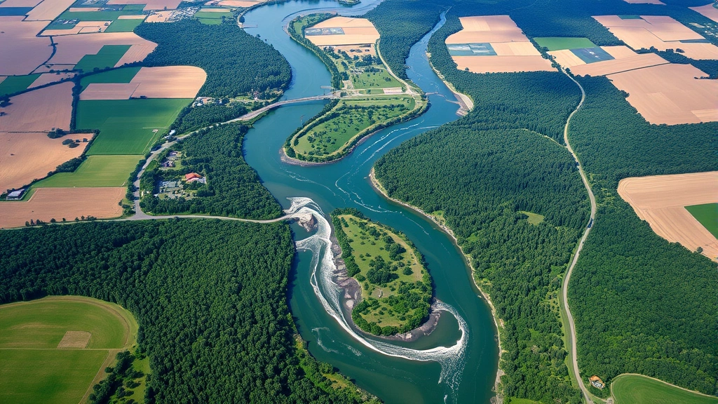
Satellite imagery enables economists to map and monitor natural capital stocks with unprecedented precision. Multispectral sensors can distinguish between different vegetation types, water quality conditions, and land degradation patterns. Thermal sensors reveal heat distribution and energy efficiency in urban systems. Radar systems penetrate cloud cover to monitor changes in forest structure and soil moisture. This technological capability translates directly into economic analysis: researchers can now quantify the area of productive farmland, track deforestation rates that indicate capital loss, measure urban sprawl that consumes valuable agricultural land, and assess wetland degradation that reduces natural water purification services.
The economic implications are substantial. When a developing nation can precisely measure its forest resources using satellite data, it can negotiate international payments for ecosystem services, access green bonds, and attract impact investors. World Bank economists increasingly incorporate remote sensing data into natural capital accounting frameworks. These satellite-based measurements have enabled countries like Costa Rica and Indonesia to monetize forest conservation through REDD+ (Reducing Emissions from Deforestation and Forest Degradation) programs, generating billions in economic value while preserving ecosystems.
Understanding environment and environmental science requires integrating these quantitative measurements with economic theory. Remote sensing provides the empirical foundation for ecological economics—a discipline that recognizes environmental limits to economic growth and values ecosystem services within economic frameworks.
Applications in Agricultural Economics and Food Security
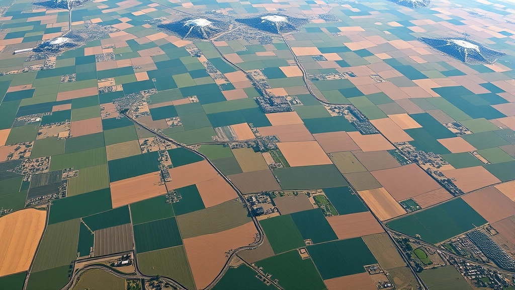
Agriculture represents approximately 4% of global GDP but employs over 1 billion people and occupies 40% of Earth’s land surface. Remote sensing has revolutionized agricultural economics by enabling real-time monitoring of crop health, yield prediction, and resource efficiency assessment at scales ranging from individual farms to continental systems.
Normalized Difference Vegetation Index (NDVI) data from Landsat, Sentinel, and commercial satellites allows economists to track crop productivity without ground surveys. This capability addresses critical economic questions: Which farms are underperforming? Where do input costs exceed productivity gains? How do climate variations affect regional food prices? By correlating satellite-derived productivity data with weather patterns, input costs, and market prices, agricultural economists can identify optimization opportunities worth millions of dollars.
Precision agriculture—guided by remote sensing data—increases yields by 15-30% while reducing water consumption by 20-40%, according to research in ecological economics journals. For smallholder farmers in sub-Saharan Africa and South Asia, this translates into measurable poverty reduction. Remote sensing enables agricultural extension services to provide targeted recommendations without expensive field visits. Insurance companies use satellite data to assess crop losses and process claims quickly, reducing transaction costs that previously limited insurance accessibility in developing regions.
Food security, fundamentally an economic problem involving production, distribution, and access, depends increasingly on remote sensing intelligence. Global food price volatility has economic ripple effects through inflation, social unrest, and trade imbalances. Satellite monitoring of global crop conditions enables earlier price discovery, allowing markets to adjust gradually rather than experiencing shocks. This stabilizing effect has measurable value for food-importing nations and vulnerable populations.
Forest Economics and Carbon Credit Markets
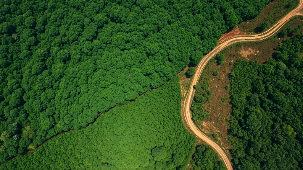
Forests represent one of Earth’s most economically valuable ecosystems, providing timber, non-timber forest products, carbon sequestration, watershed protection, and biodiversity habitat worth an estimated $2.4 trillion annually. Yet traditional economic accounting treated forests primarily as timber resources, ignoring other values. Remote sensing has fundamentally changed forest economics by enabling measurement of multiple ecosystem services simultaneously.
Satellite-based forest monitoring systems now track deforestation rates, forest degradation, regeneration, and biomass accumulation across tropical regions with accuracy exceeding 95%. This precision has enabled the emergence of carbon credit markets. When Indonesia can prove through satellite data that it has prevented deforestation across a 2-million-hectare concession, it can generate carbon credits worth $100-200 million over a project period. This economic incentive creates powerful motivation for forest conservation that competing with agricultural expansion.
The carbon credit market, worth approximately $50 billion annually and growing, depends entirely on remote sensing verification. Without satellite data, carbon projects lack credibility and cannot access international finance. This creates an interesting economic dynamic: satellite technology enables the monetization of carbon sequestration, which in turn generates revenue streams that make forest conservation economically competitive with deforestation for timber or agriculture.
Research on human environment interaction reveals how remote sensing data influences these economic decisions. When communities understand—through visual satellite imagery—the extent of forest loss in their region, it can strengthen political will for conservation policies. Transparency enabled by remote sensing creates accountability in forest governance, reducing corruption and illegal logging that costs tropical nations billions annually.
Urban Development and Real Estate Valuation
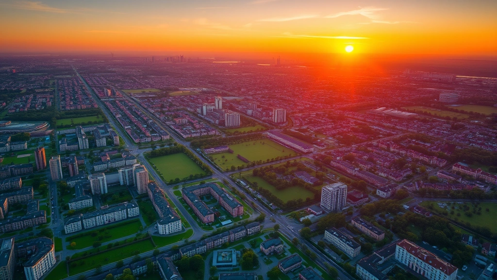
Urban areas generate approximately 80% of global GDP while occupying only 2% of land surface. Remote sensing has become essential for understanding urban economic dynamics, from real estate valuation to infrastructure planning to quality-of-life assessment. High-resolution satellite imagery and aerial surveys enable economists to measure urban development patterns, building density, green space availability, and infrastructure capacity with unprecedented detail.
Real estate markets increasingly incorporate remote sensing data into valuation models. Satellite imagery reveals property characteristics (building size, condition, surrounding vegetation), neighborhood characteristics (density, green space, proximity to amenities), and environmental risk factors (flood zones, air pollution, heat islands). Machine learning algorithms trained on satellite imagery can predict property values with accuracy matching traditional appraisals, reducing transaction costs and improving market efficiency.
Urban heat island effects—where cities are 1-7°C warmer than surrounding rural areas—have measurable economic consequences. Thermal satellite data reveals the spatial distribution of urban heat, which correlates with energy consumption, public health costs, and productivity losses. Cities that use remote sensing to identify priority areas for green infrastructure investment can optimize resource allocation. Planting trees in high-heat neighborhoods generates economic benefits through reduced cooling costs, improved health outcomes, and increased property values that exceed implementation costs.
Water Resources Management and Economic Productivity
Water stress affects 2 billion people globally and constrains economic productivity across agriculture, manufacturing, and energy generation. Remote sensing provides critical intelligence for water resource economics through measurement of surface water extent, groundwater depletion, water quality, and hydrological changes.
Satellite radar can penetrate soil to detect groundwater aquifer boundaries and monitor depletion rates. This information is economically crucial in regions like India, the Middle East, and the American Great Plains, where groundwater extraction exceeds natural recharge. Economists can now quantify the rate at which agricultural productivity is declining due to aquifer depletion, informing decisions about crop selection, irrigation technology investment, and migration patterns. Studies in the Journal of Remote Sensing of Environment demonstrate that satellite-based groundwater monitoring enables more sustainable water allocation policies that maintain agricultural productivity while preserving water resources for future generations.
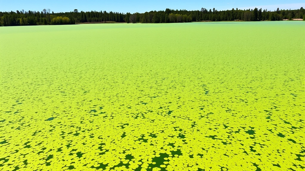
Water quality monitoring through satellite sensors reveals pollution sources, algal bloom extent, and contamination patterns. This information supports economic valuation of water resources and enables polluters to be held accountable through economic instruments like pollution pricing or liability assessments.
Supply Chain Transparency and Economic Risk Assessment
Global supply chains worth trillions of dollars depend on natural resources extracted from forests, agricultural lands, fisheries, and mining regions. Remote sensing enables unprecedented transparency in commodity supply chains, revealing whether production practices comply with environmental regulations and sustainability commitments.
Companies and investors use satellite imagery to verify sustainability claims in commodity supply chains. Satellite monitoring of palm oil plantations, cattle ranches, soybean farms, and timber concessions reveals land-use practices, deforestation rates, and compliance with conservation commitments. This transparency creates economic incentives for sustainable practices: companies that can prove environmental compliance through satellite verification access premium markets and avoid supply chain disruptions from NGO campaigns or regulatory restrictions.
Financial institutions increasingly incorporate satellite-based environmental risk assessment into lending and investment decisions. Banks evaluating agricultural loans use satellite data to assess soil health and climate risk. Investors evaluating real estate portfolios use satellite imagery to identify properties in flood-prone or fire-prone areas. This risk integration improves capital allocation efficiency and reduces financial system vulnerability to environmental shocks.
Climate Change Economics Through Satellite Data
Climate change represents the most significant long-term economic risk facing global civilization, with potential GDP losses exceeding 10% under high-warming scenarios. Remote sensing provides essential data for climate change economics through measurement of atmospheric composition, sea ice extent, glacier retreat, sea-level rise, and ecosystem stress indicators.
Satellite measurements of atmospheric CO2, methane, and other greenhouse gases enable economists to track progress toward climate targets and assess the effectiveness of mitigation policies. Thermal imaging reveals the urban heat island effect and energy efficiency of buildings. Ocean color sensors monitor marine productivity and ecosystem health. Ice sheet measurements quantify sea-level rise rates, informing economic models of coastal inundation risks.
The economic value of climate information provided by remote sensing is enormous. Improved climate forecasting enables agricultural planning, water resource allocation, and disaster preparedness that reduce economic losses. Research institutions and government agencies increasingly value remote sensing data for climate risk assessment, informing insurance pricing, infrastructure investment decisions, and long-term economic planning.
Understanding how to reduce carbon footprint at organizational and individual levels depends on data about emissions sources and mitigation effectiveness. Remote sensing provides the empirical foundation for carbon accounting and verification, enabling the transition to a low-carbon economy.
Policy Implications and Future Directions
The integration of remote sensing technology into economic analysis has profound policy implications. Governments increasingly incorporate satellite data into environmental impact assessments, natural resource management planning, and climate policy design. International agreements on climate change, biodiversity conservation, and sustainable development depend on satellite-verified data for monitoring progress and ensuring accountability.
The emergence of open-access satellite data through initiatives like the U.S. Geological Survey’s Landsat program and the European Commission’s Copernicus program has democratized access to environmental information. Researchers, NGOs, and businesses in developing countries can now access high-quality satellite imagery without cost barriers, enabling broader participation in environmental economics research and practice.
Future directions for remote sensing in economic analysis include integration with artificial intelligence and machine learning for automated analysis of satellite imagery, development of real-time economic indicators derived from satellite data, and expansion of satellite networks to provide higher-resolution monitoring. The emerging field of satellite-based economic indicators promises to complement traditional GDP measurement with more comprehensive indicators of natural capital stocks, ecosystem service flows, and environmental risks.
Building awareness about the environment through visual satellite data has proven remarkably effective for driving policy change and corporate behavior modification. When policymakers and investors can see deforestation, water pollution, or urban sprawl through satellite imagery, abstract environmental concerns become concrete economic risks.
Remote Sensing of Environment journal continues publishing groundbreaking research on the economic applications of satellite technology. Research institutions worldwide are developing new methodologies for translating satellite observations into economic value assessments, creating a robust interdisciplinary field that bridges environmental science and economics.
FAQ
How accurate is remote sensing data for economic applications?
Remote sensing data accuracy varies by sensor type, resolution, and application. High-resolution satellite imagery (1-5 meters) achieves 85-95% accuracy for land use classification. Coarser resolution data (30-250 meters) provides adequate accuracy for monitoring large-scale changes like deforestation or urban expansion. Validation with ground measurements typically improves accuracy and provides confidence intervals for economic applications.
What is the cost of accessing remote sensing data?
Many satellite datasets are now freely available through government programs. Landsat 8/9 imagery is free from the U.S. Geological Survey. Sentinel-2 data is free through the Copernicus program. Commercial high-resolution imagery (0.3-1 meter) costs $10-100 per square kilometer depending on resolution and timeliness. For most economic applications, free or low-cost data sources are sufficient.
How does remote sensing compare to traditional ground surveys for environmental monitoring?
Remote sensing provides broader spatial coverage, more frequent temporal updates, and lower per-unit costs than ground surveys. However, ground measurements provide validation and higher accuracy for specific parameters. The optimal approach combines both methods: satellite data for broad-scale monitoring and ground surveys for validation and detailed characterization.
Can remote sensing detect illegal economic activities like illegal logging or mining?
Yes, satellite imagery can detect unauthorized land clearing, infrastructure development, and other visible changes associated with illegal activities. However, detection capability depends on spatial resolution and temporal frequency. Covert activities that minimize visible disturbance may escape detection. Remote sensing is most effective when combined with ground-based monitoring and enforcement systems.
How is remote sensing data used in carbon credit verification?
Carbon projects use satellite imagery to measure forest area, biomass, and changes over time. By comparing satellite observations before and after a conservation intervention, project developers can quantify avoided deforestation or forest regeneration. Independent auditors verify these measurements against ground data before issuing carbon credits. This remote sensing-based verification system has enabled the development of credible carbon markets.
What are the privacy implications of high-resolution satellite imagery?
High-resolution commercial satellite imagery raises legitimate privacy concerns, particularly for monitoring individuals on private property. However, most economic applications involve aggregated data covering large areas rather than individual surveillance. Regulations and ethical guidelines are evolving to balance transparency benefits with privacy protection.